The Hub of Unmanned Systems
Our Mission
Our mission is to redefine what’s possible with drones—whether it’s high-resolution aerial mapping, real-time surveillance, infrastructure inspection, precision agriculture, or environmental monitoring. With a commitment to innovation, compliance, and safety, Flagmaps Group combines expert piloting with state-of-the-art equipment and data analytics to provide actionable insights from above.
From large-scale commercial projects to specialized remote operations, we offer tailored drone services that reduce risk, increase efficiency, and improve decision-making for our clients.

Domains of Unmanned Systems
The four main domains of Unmanned Systems are based on the environment they operate in:
- Air Domain ✈️
- Unmanned Aerial Vehicles (UAVs)
- Examples: drones, quadcopters
- Used for surveillance, photography, delivery, mapping
- Ground Domain 🚗
- Unmanned Ground Vehicles (UGVs)
- Examples: robotic rovers, autonomous military vehicles
- Used for logistics, bomb disposal, exploration
- Surface (Maritime) Domain 🚤
- Unmanned Surface Vehicles (USVs)
- Operate on the surface of water
- Used for patrolling, environmental monitoring, research
- Underwater Domain 🌊
- Unmanned Underwater Vehicles (UUVs)
- Examples: autonomous submarines, ROVs
- Used for deep-sea exploration, inspections, defense
Droneguard Security
DroneGuard Security refers to systems and solutions that use drones and technology to enhance security, surveillance, emergency response, and airspace protection. There are different products and companies using the name or concept of “DroneGuard,” but all share similar themes of using unmanned aerial systems for safety and security purposes.
📌 1. DroneGuard (Drone Management & Security Platform)
This DroneGuard is an advanced drone operations and security system used for managing, monitoring, and deploying drones in real time:
- Provides mission planning, route creation, live tracking, and automated patrols.
- Integrates drones with security infrastructure for surveillance and intrusion detection.
- Can detect unauthorized drones in monitored zones and alert security teams.
- Supports livestreaming, multi-location deployments, and integration with external systems like air-traffic or surveillance software.
- Used for regular perimeter patrols, security monitoring, and rapid response. DroneGuard
📌 2. DroneGuard (Emergency Response App & Service)
Another DroneGuard focuses on public safety and emergency support:
- Provides a mobile app for users to summon drones for real-time monitoring during emergencies or suspicious activity.
- Offers live video feeds that can be shared with authorities or trusted contacts.
- Designed to augment overloaded 911 dispatch systems and offer a faster, smarter aerial response. DroneGuard
🛡️ What “Security” Means in DroneGuard Context
When paired with security, “DroneGuard” generally means using unmanned aerial systems for protective, surveillance, and monitoring functions such as:
✔️ Perimeter surveillance and automated patrols of large properties. DroneGuard
✔️ Intruder detection — spotting unauthorized people, vehicles, or drones. DroneGuard
✔️ Live aerial video feeds for situational awareness. DroneGuard
✔️ Rapid-response support during emergencies like break-ins or threats. DroneGuard
✔️ Integration with broader security systems used by law enforcement or private security
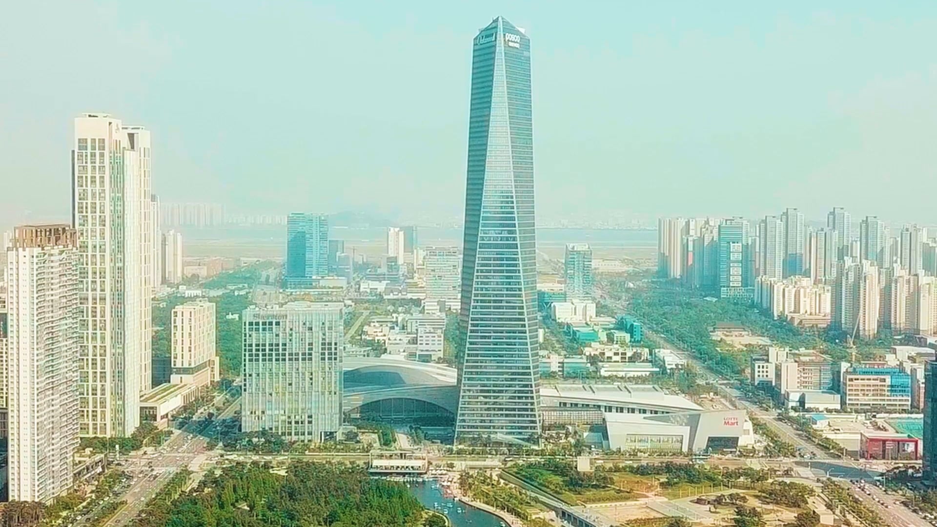
Explore our stunning Aerial Operations Views